Two aisles can look identical to a warehouse robot. Both have the same rack spacing and stacks of returnable parts totes, and a loaded carrier can hide a rack upright that was visible during mapping. For an automotive warehouse comparing navigation scanners, the question is whether the scanner gives the controller enough usable information at those trouble spots. A range specification alone cannot answer it.
Ask for a scan file before picking the scanner
A navigation system uses a sequence of distance measurements around the scanner. Ask the integrator for a sample recording that the controller can open, along with the packet format, scan order and the convention for angles. At a rack end, the controller needs to put the distance samples in the right place relative to the robot. A point display in the sensor vendor’s tool is a sensible first check, but the next check is whether the robot itself can use those points.
The DLD-50D Ethernet LiDAR lists 100BASE-TX with TCP measurement data on port 2368. Its manual describes SimiView and an SDK. Ask which installer and SDK apply to the proposed unit and whether the controller’s operating system and software stack are supported. An Ethernet connection gets the devices onto the same network. It leaves the decoder, scan timing and controller integration to be resolved.
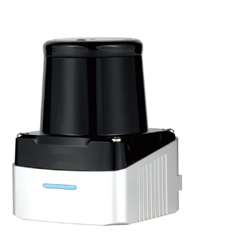
DLD-50D two-dimensional navigation and mapping scanner
Put the missing sector on the mounting drawing
The published field of view is 280 degrees, leaving an 80-degree sector outside the scan. Draw that sector on the vehicle layout using the manufacturer’s angle convention. An empty vehicle might have a clear line of sight where a loaded vehicle has a tote in front of the scanner. Compare both silhouettes before drilling mounting holes, especially at a turn where the required rack reference changes sides.
Target reflectance matters as well. The DLD-50D lists up to 50 m at 90% remission and up to 20 m at 10%. Those are stated target conditions. If a navigation estimate depends on a dark bin or rack surface across an aisle, capture scans at the actual distance and angle. Save a comparable run with a different load so the integrator can tell whether a surface changed or simply disappeared behind the carrier.
Make the trial answer a route question
Pick a specific maneuver such as turning out of a repetitive aisle onto a transfer lane. Agree what counts as a usable position estimate, and include a controlled interruption to check how the controller reports stale scan data and resumes service. If the host only needs a simple occupancy signal elsewhere in the installation, the 2D LiDAR selection guide explains why measurement streams and discrete zone outputs serve different jobs. Keep personnel protection in its separately designed and validated safety system.
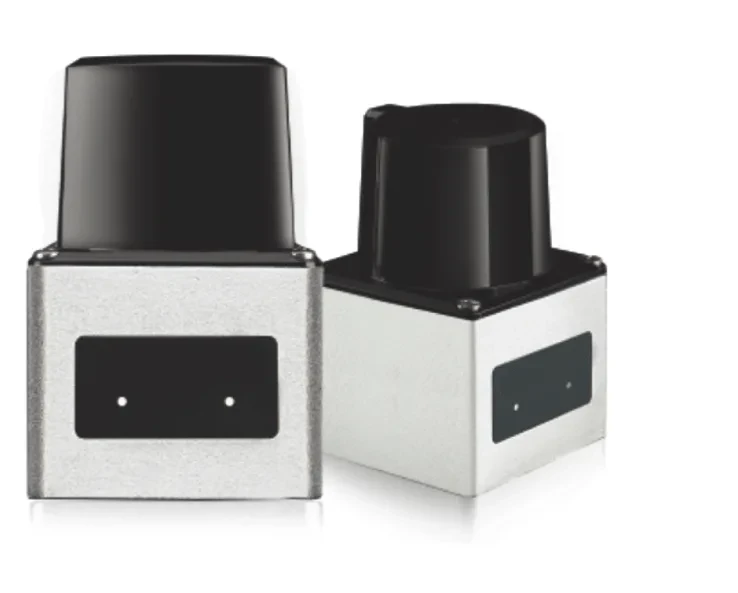
DLD-50D scanner housing views